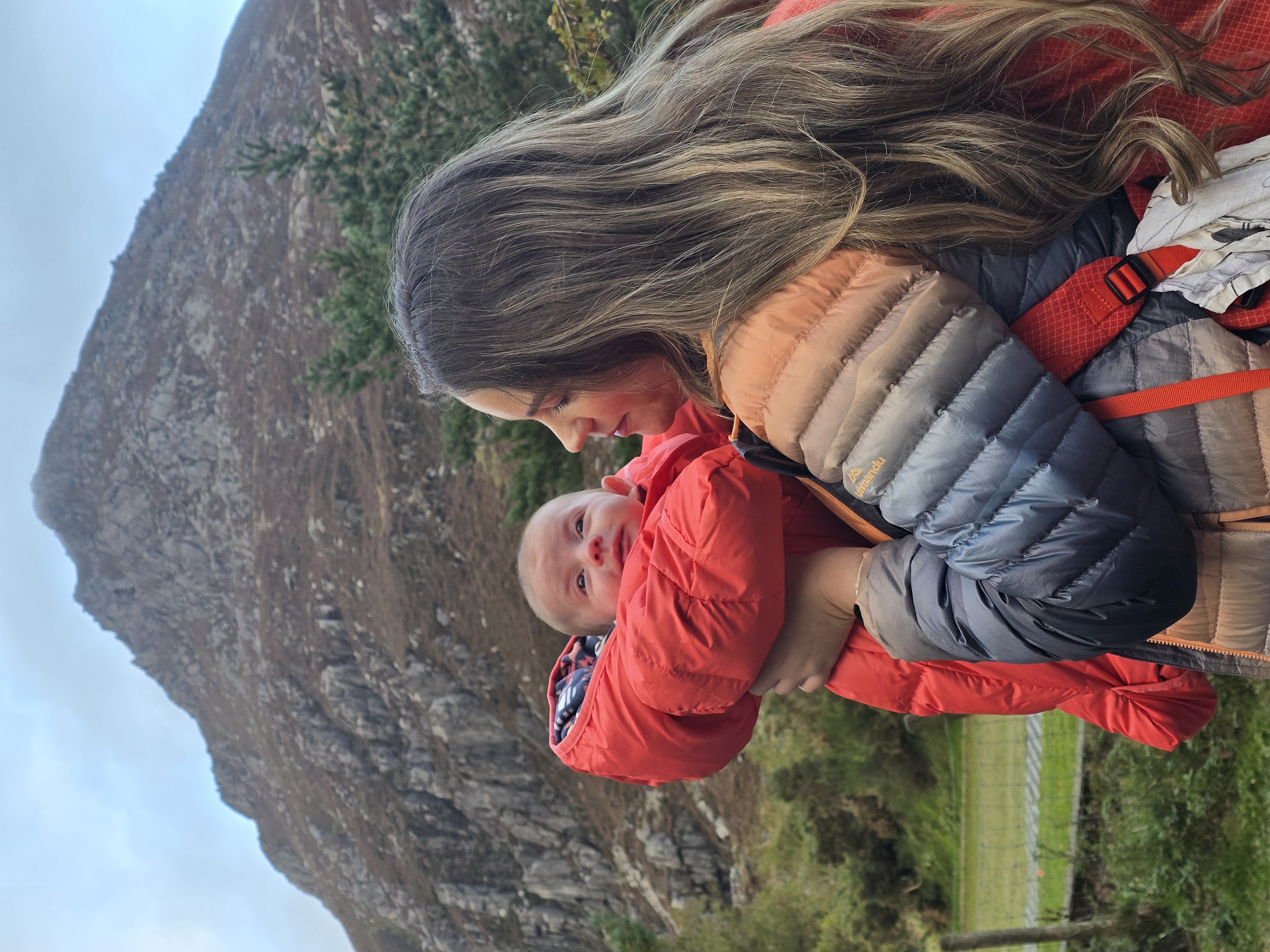
My new year resolutions are usually focused around weight loss, healthy eating and just getting in better shape generally (which I literally never stick too!) so this year I wanted to really step up my fitness game and challenge myself, both physically and mentally with my ultimate goal of completing the 12 highest UK mountains in 12 months!
The past 6 months or so I’ve really struggled to find motivation with my training, so the aim with this challenge is to give myself something to really focus on and structure my training around. The mountains I’ve chosen are some of the toughest and highest peaks across the UK, including Scafell Pike in England, Snowdon in Wales and Ben Nevis (my Everest) in Scotland.
I will be capturing all the climbs using my GoPro for video content and GPS watch to show kilometres, duration, calories tracked for anyone interested in following these routes. After summiting each mountain I will update this blog with useful details about each climb, tips / advice, hazards to be aware of and hopefully a summit selfie!
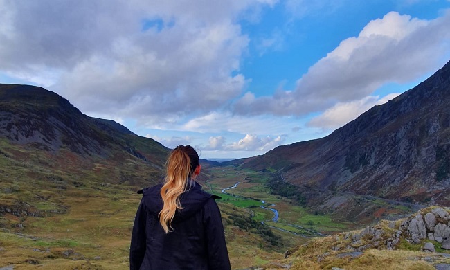
Snowdon (January)
The highest peak in Wales and 3rd in the highest UK mountains. There are 8 paths in total to take up Snowdon including; Crib Goch (the toughest and only for experienced climbers), Watkin Path, South Ridge, PYG Track, Rhyd Ddu Path, Miner’s, Ranger and Llanberis Path.
Location: Snowdonia, Wales
Elevation: 1085 metres
Track: PYG
Ascent: 673 metres
Distance: 5.1 km
Start point: Pen Y Pass
Estimated time: 4 hours
I’ve completed Snowdon a few times using the PYG track and it’s a really simple route to follow (even during poor weather conditions), so it seemed like the best option for our first Mountain in January.
Completed 12.01.20 ✔
It took us just over 4 hours to complete Snowdon, a lot longer than we’d expected (comparing it to previous visits) even though we got lucky with the weather, the path was still extremely slippery with icy wind on the summit path. With the rocks being so icy and wet on the descent, we decided to take the Miner’s track down the mountain as its mostly flat ground once you climb down from the summit, so it’s an easier descent in Winter.


Hazards: The route can be challenging during most months of the year, but if you are tackling Snowdon in Autumn / Winter be prepared to face all weather conditions! There are some steep cliffs along this path and a lot of the route is over rough / rocky terrain, so you will need to be reasonably fit to reach the peak.
Left to complete…
Pen Yr Ole Wen (February)
Location: Snowdonia
Elevation: 978m
Track: Ogwen Valley
Ascent: 788m
Distance: 8.1 km
Start point: Ogwen Valley
Old Man of Coniston
Location: Lake District
Elevation: 803m
Track: Jack Diamond
Ascent: 882m
Distance: 12.7 km
Start point: Coniston
Estimated time: 4 hours
Glyder Fach & Glyder Fawr
Location: Wales
Elevation: 994 (Fach) and 1001 (Fawr)
Track: Devils Kitchen
Ascent: 855m
Distance: 12.5 km
Start point: Idwal Cottage
Estimated time: 5 hours
Hazards: Lose scree and steep climb.
Ben Nevis
Location: Scotland
Elevation: 1344m
Track: Mountain
Ascent: 1356m
Distance: 16.6 km
Start point: Ben Nevis Visitor Centre
Estimated time: 6-7 hours
Hazards: Navigation off the summit in mist and covered in snow most months of the year.
Skiddaw
Location: Lake District
Elevation: 931m
Track: Alongside Edge
Ascent: 1002m
Distance: 13.74 km
Start point: High side house
Estimated time: 5 hours
Hazards: Steep path, slippery so needs to be dry day
Tryfan
Location: Wales
Elevation: 918m
Track: North Ridge
Ascent: 691m
Distance: 7.3k
Start point: Idwal Cottage
Estimated time: 5 hours
Hazards: Grade 1 scramble that’s steep and exposed.
Helvellyn
Location: Cumbria, England
Elevation: 950m
Track: Swirral Edge
Ascent: 1059m
Distance: 12.9 km
Start point: Glenridding
Estimated time: 5 hours
Hazards: Exposed scramble, knife edge ridge. Dry weather needed.
Scafell Pike
Location: Lake District
Elevation: 978m
Track: Wasdale
Ascent: 910m
Distance: 8.73 km
Start point: Wastwater – Wasdale
Estimated time: 3 hours
Hazards: Navigation from summit in mist
Ben Macdui
Location: Scotland
Elevation: 1309m
Track: Cairngorm Ski Centre Aviemore
Ascent: 1093m
Distance: 17.37 km
Start point: Cairngorm ski area car park
Estimated time: 5-6 hours
Pen Y Fan
Location: South Wales
Elevation: 886m
Track: Storey Arms
Ascent: 566m
Distance: 7.5 km
Start point: Storey Arms
Estimated time: 3-4 hours
Hazards: Steep scrambling and route difficult to follow in mist
Penydader
Location: Wales
Elevation: 893m
Track: Minffordd Path
Ascent: 862m
Distance: 4.9 km
Start point: Minffordd car park
Estimated time: 4h hours
Hazards: Steep scrambling and route difficult to follow in mist
Read Next: The Ultimate Beginners Guide to Hiking
Outdoor Adventure, Travel, and Family Editor.
I share stories from my adventures with my daughter, Daisy, practical gear advice, and tips for navigating family life from my experiences.
Follow Sam’s adventures on Instagram @sams_adventures_

